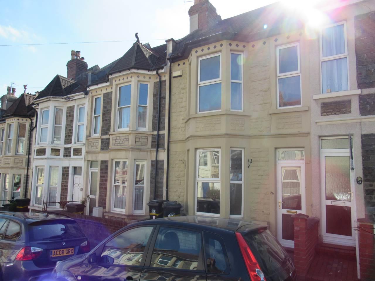
Douglas Road
Horfield, Bristol, BS7 0JD
- Bedrooms
- 3
- Bathrooms
- 1
- Floor area
- 1,088 sq ft
- Receptions
- 2
- EPC
- 43
The property
* AVAILABLE 15.09.2025 *
WELL PRESENTED PART- FURNISHED THREE BEDROOM HOUSE! Jeffrey Ross are delighted to offer to the rental market this LARGE VICTORIAN TERRACED HOUSE that s is perfect for PROFESSIONAL SHARERS OR FAMILIES. On the ground floor there is a DINING ROOM ,LIVING ROOM and an REFITTED KITCHEN & UTILITY AREA. Upstairs there are THREE DOUBLE BEDROOMS and a BATH/SHOWER ROOM & W/C . White goods include – FRIDGE/FREEZER, GAS HOB/ ELECTRIC OVEN, WASHING MACHINE & TUMBLE DRYER. Benefits include Gas Central Heating & Double Glazing. CLOSE TO BUS STOPS and LOCAL AMENITIES with good transport links to the City Centre.
Holding Deposit £426.23
Key features
- 1087.16 SQFT
- Three Bedroom House
- Great Location
- Gas Central Heating
- Gas Hob/Electric Oven
- Fridge/Freezer
- Washing Machine
- Tumble Dryer
- Suit Family, Couple or Sharers
- Damage Deposit £2134.61
Gallery
Inside the property
Explore this property
- Property type
- House - Terraced
- Council tax
- Band C · about £2,412 a year
- EPC rating
- 43 (potential 87)
- Bedrooms
- 3
- Bathrooms
- 1
- Reception rooms
- 2
- Internal area
- 1,088 sq ft
- Furnished
- Part furnished
Council tax is an estimate for 2026/27, worked out from the statutory band proportions and Bristol City Council's average band D — about £201 a month. A community or parish precept can lift it a little. Check with Bristol City Council. Tenure and council tax band to be confirmed by your legal adviser.
Douglas Road, Horfield Open in Maps
The market in Bristol
- On the market with us
- 16
- Median asking price
- £345,000
- Median price per sq ft
- £350
- Available to rent
- 28
From the 16 properties Jeffrey Ross currently has for sale in Bristol. It is our own stock, not the whole market — the market figures are below.
The whole market in Bristol
6,102 sales · every home sold across 53 postcode sectors in Bristol in the twelve months to April 2026 · source: HM Land Registry Price Paid Data
BS1 5, BS1 6, BS10 5, BS10 6, BS10 7, BS11 0, BS11 9, BS13 0, BS13 7, BS13 8, BS13 9, BS14 0, BS14 8, BS14 9, BS15 1, BS16 1, BS16 2, BS16 3, BS16 4, BS2 0, BS2 8, BS2 9, BS3 1, BS3 2, BS3 3, BS3 4, BS3 5, BS34 7, BS34 8, BS4 1, BS4 2, BS4 3, BS4 4, BS4 5, BS5 0, BS5 6, BS5 7, BS5 8, BS5 9, BS6 5, BS6 6, BS6 7, BS7 0, BS7 8, BS7 9, BS8 1, BS8 2, BS8 3, BS8 4, BS9 1, BS9 2, BS9 3, BS9 4
- Median sold price
- £350,000
- Change on the year, like for like
- -1.7%
- Homes sold
- 6,102
41% terraced, 29% flats
Every home sold in the 53 postcode sectors listed above, in the twelve months to April 2026, not only ours. The change compares each kind of home against its own kind a year earlier — detached against detached, flats against flats — because a median follows what happened to sell as much as what it is worth. Contains HM Land Registry data © Crown copyright and database right, licensed under the Open Government Licence v3.0. Sales take about three months to reach the register.
Missed this one?
Tell our North Bristol team what you’re after and we’ll call you when something similar comes up — often before it reaches a portal.
Schools
What’s nearby
Primary
- Filton Avenue Primary School
- Upper Horfield Primary School
- St Teresa's Catholic Primary School
Secondary
- Orchard School Bristol
- Trinity Academy
- Fairfield High School
Straight-line distance to the nearest schools — not a catchment area. Catchment is set by the council and can put a nearer school out of reach and a further one in. Bristol allocates primary places by distance rather than catchment, and secondary places by area of first priority. Check the address on Bristol City Council’s own lookup, using BS7 0JD.
Check school admissionsGet Information about Schools (England) and Welsh Government address list of schools. Coordinates from postcodes.io. Contains public sector information licensed under the Open Government Licence v3.0.